Let Crowley Surveying show you the way.

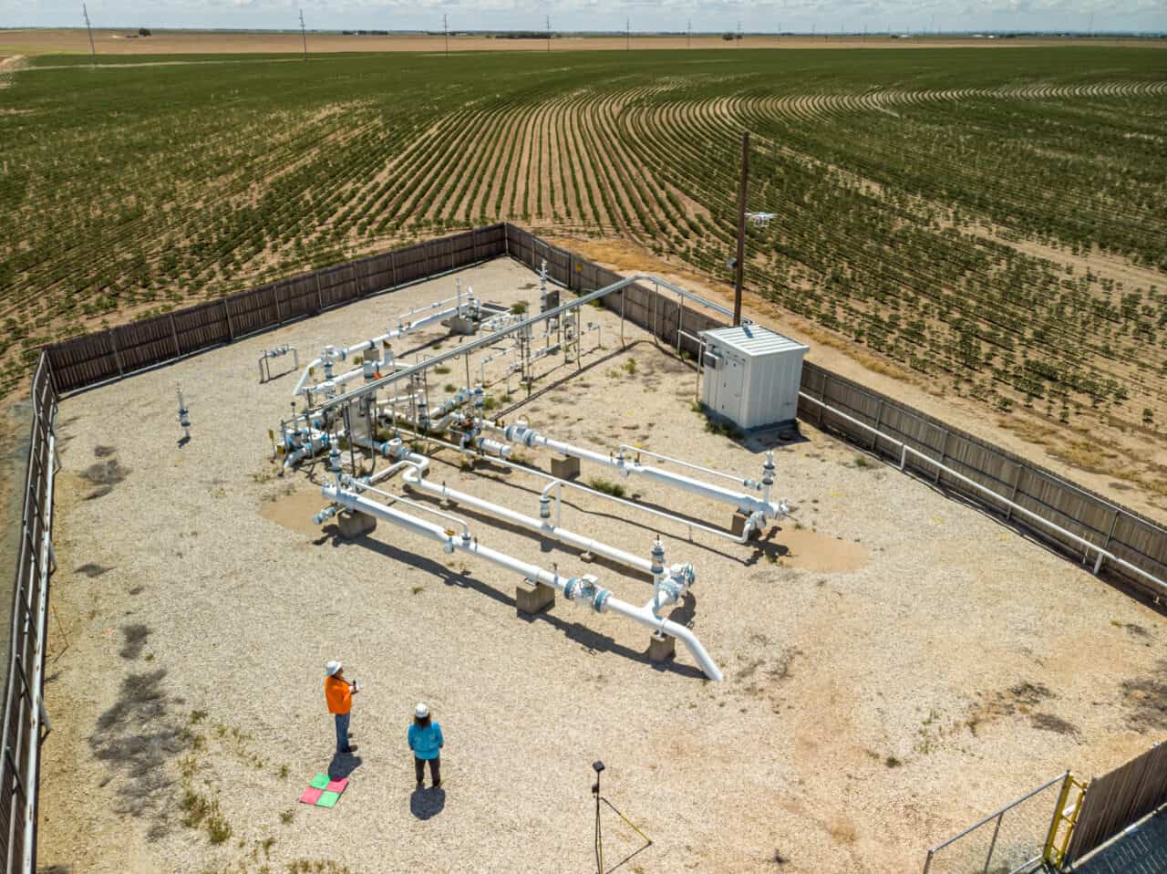
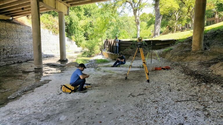
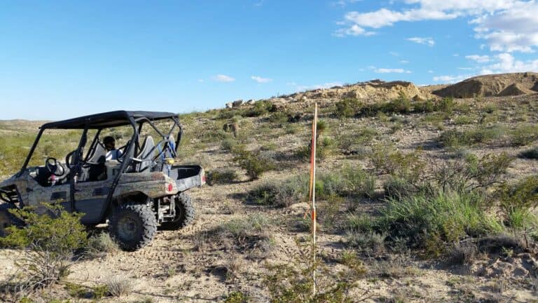
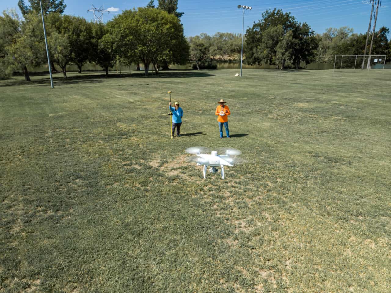
We provide land surveying and pipeline services dedicated to completing your civil, commercial and residential projects, utilizing the latest technology and exceptional customer service.

The Advantages of Working with Crowley Surveying

  • TECHNOLOGY
    We utilize the latest surveying technology can provide more accurate and efficient results.
  • CUSTOMER SERVICE
    We provide exceptional customer service, such as prompt response times and clear communication.
  • EXPERTISE
    We have a team with extensive experience in the specific services we offer.
  • COMPETITIVE PRICING
    We offer competitive pricing for surveying services for our cost-conscious clients.
  • TURNAROUND TIME
    We can quickly deliver survey results in most situations.
23376257_129258947786713_377217375075329368_n
131128940_693708138008455_8367379967389319420_n
22550532_124341471611794_5341787416663767596_o
130932223_690888404957095_4001450402670372414_n
22498968_124341531611788_3490280205932791169_o
Mapping Your World

Quickly, Precisely & Economically.

When fast turnarounds, precision detail and competitive pricing are an absolute must, look to the professionals with a track record for success.
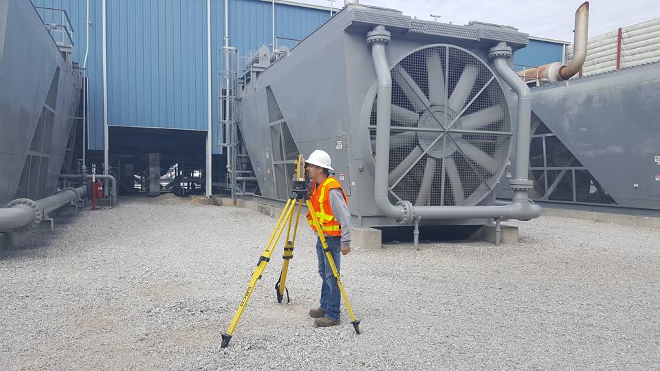
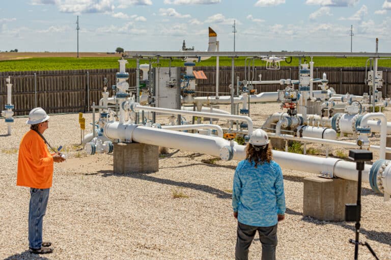
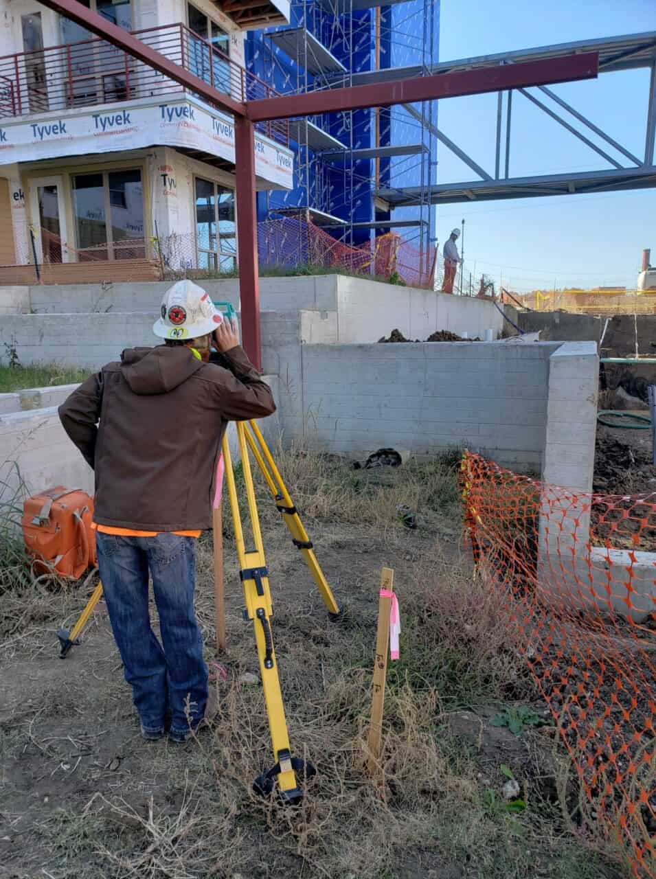
Our Services

We’re your comprehensive surveying resource.

22550532_124341471611794_5341787416663767596_o
Boundary Surveying

Boundary Surveys, Title Surveys, Subdivisions, Boundary Disputes, and Easements.

131494910_693708078008461_1479341622193611834_n
ALTA/NSPS Surveys

Offering spatial analysis tools that solve complex problems with precision.

38612489_225365648176042_6995494598302760960_n
Construction Layout

Establishing site control and staking for roads and buildings.

22499320_124341524945122_3351372632183061868_o
Route Surveying

Preliminary route consultation, Alignment Sheets (preliminary, IFR, IFB, IFC, and As-Built), Plan and Profile Permit drawings.

35652111_188160321896575_7709346711545577472_n
Laser Scanning & 3D Modeling

Perfect for floor plans of buildings and gas facilities, as-built of structures that are difficult to survey with traditional methods, topo surveying in dense woods and construction sites in conjunction with aerial mapping.

131515383_693708064675129_271886249303426431_n
Aerial Photogrammetry

Video fly-through of the property, Orthophotos, and PhoDAR/SfM Point Clouds.

22499146_124341468278461_406639732511852095_o
Topographic Surveying

Documents the natural and manmade features of a designated area of land. Shows the location, size, and height of the features, as well as changes in elevation of the land.

22499320_124341524945122_3351372632183061868_o
Subdivisions & Platting

Layout and platting services for developers.

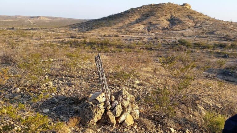
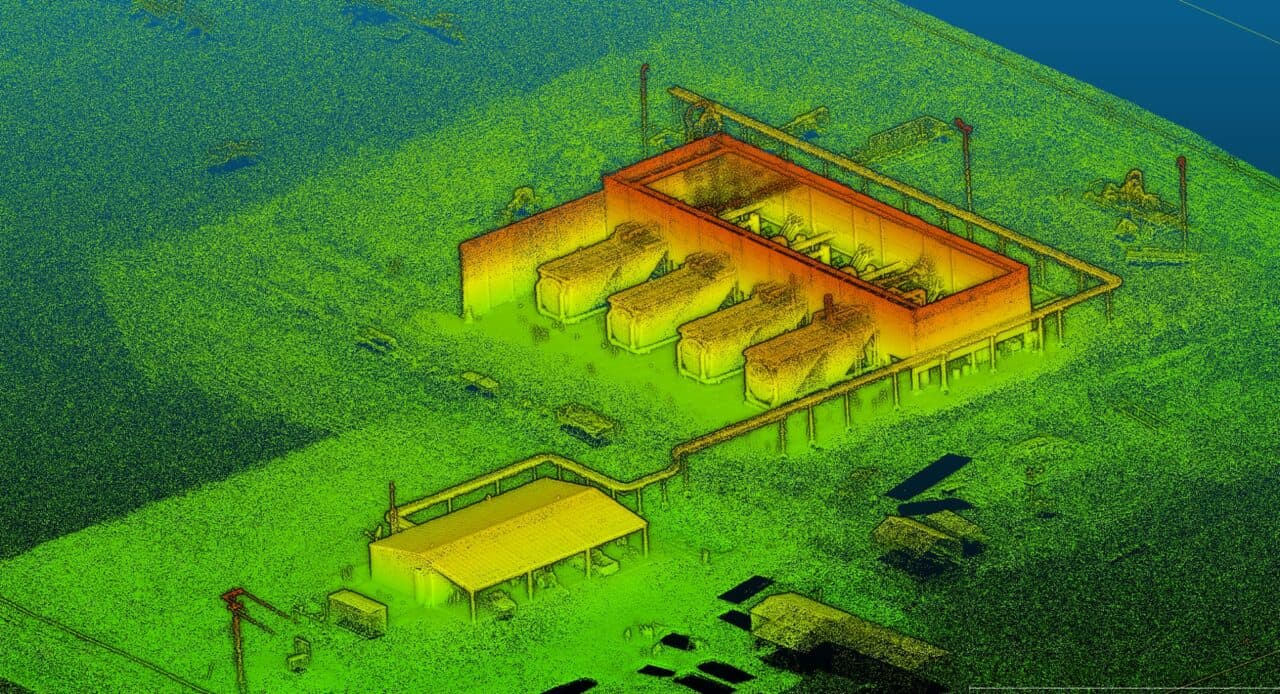
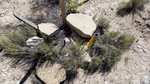
Reality Capture / Laser Scanning

Here are a couple of examples of how we use laser scanning to serve our clients.

“Hands down the best. Don’t waste your time with anyone else.”
unnamed
Trey Klick