Our Services
ALTA/NSPS Surveys
ALTA/NSPS Land Title Surveys are highly comprehensive surveys conducted according to the strict standards set by the American Land Title Association (ALTA) and the National Society of Professional Surveyors (NSPS). These surveys provide an in-depth analysis of property boundaries and land features, revealing encroachments, easements, and other critical elements. Often required in commercial real estate transactions, an ALTA/NSPS Land Title Survey ensures that all parties involved have a clear understanding of the property’s legal characteristics. Our expert team is dedicated to providing precise and timely ALTA/NSPS Land Title Surveys, enabling smooth transactions and reliable property management.
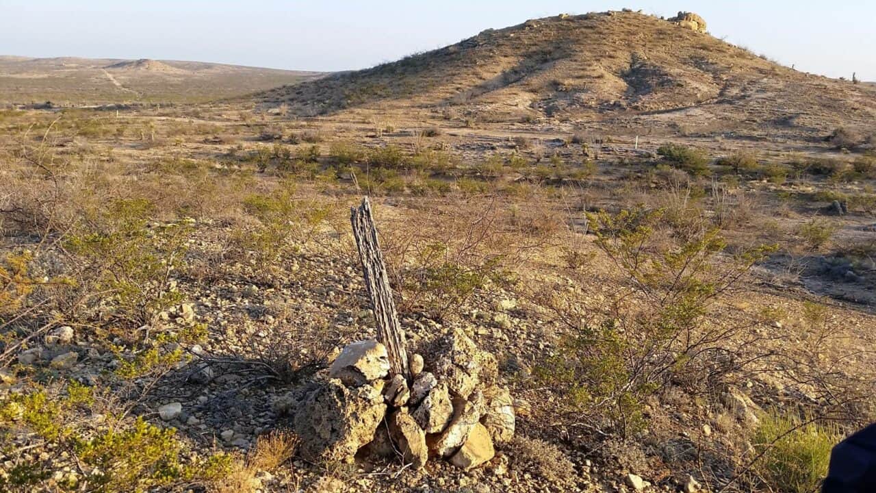
Boundary Surveying
Boundary surveys are used to determine property lines. Crowley Surveying provides professional surveys that indicate the extent of easements or encroachments and may show the limitations imposed on the property by state or local regulations.
Construction Layout
Construction staking is prepared for the layout and control of new improvements based on plans prepared by design professionals. We use construction staking to establish horizontal and vertical definition of buildings, roads, storm and water lines, wastewater lines, site grading, walls, parking areas, etc.
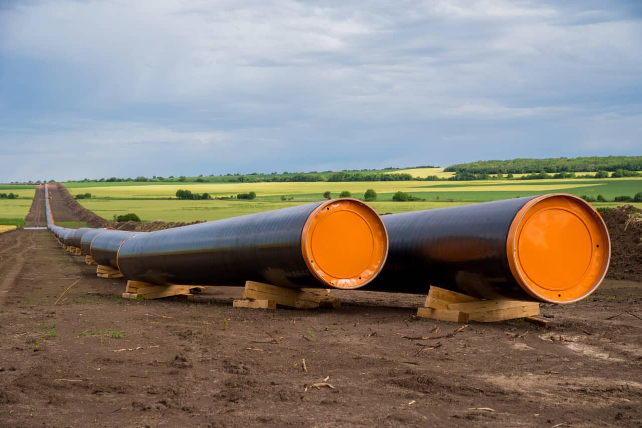
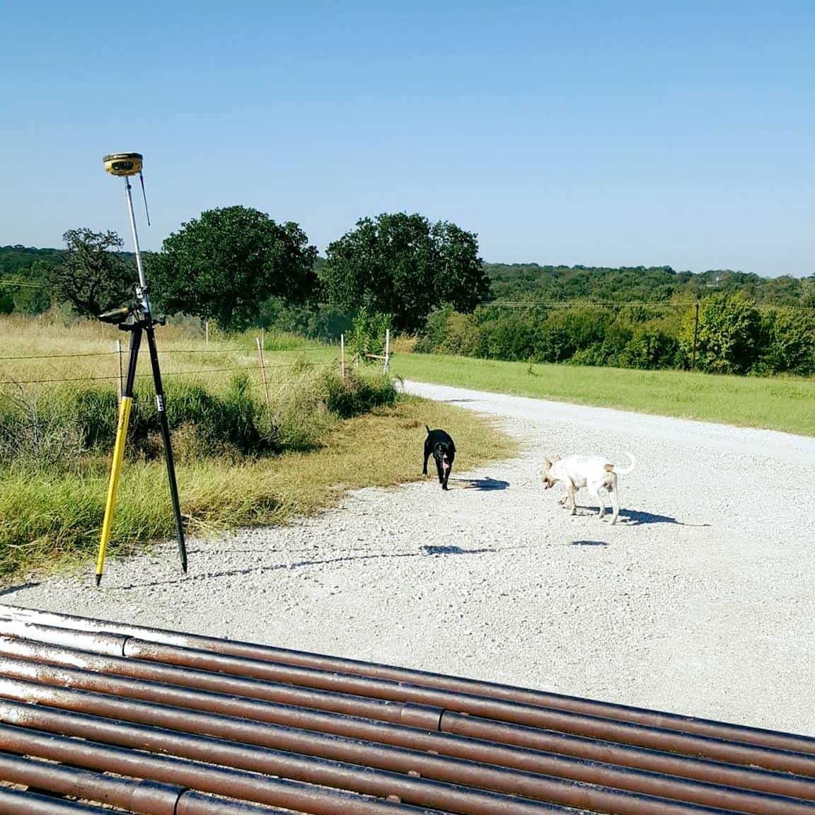
Route Surveying
We provide Route Surveys to determine the route, boundaries, design, and construction data that inform civil projects such as roads, pipelines, and powerlines.

Aerial Photogrammetry
Aerial surveys allow us to collect valuable data through the use of drones and other aerial methods. Through cutting edge photogrammetry, photography, LIDAR and other techniques, we are able to gather more data and form a comprehensive survey that offers information on many things not visible from the ground.
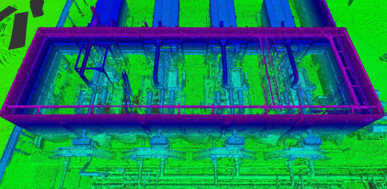
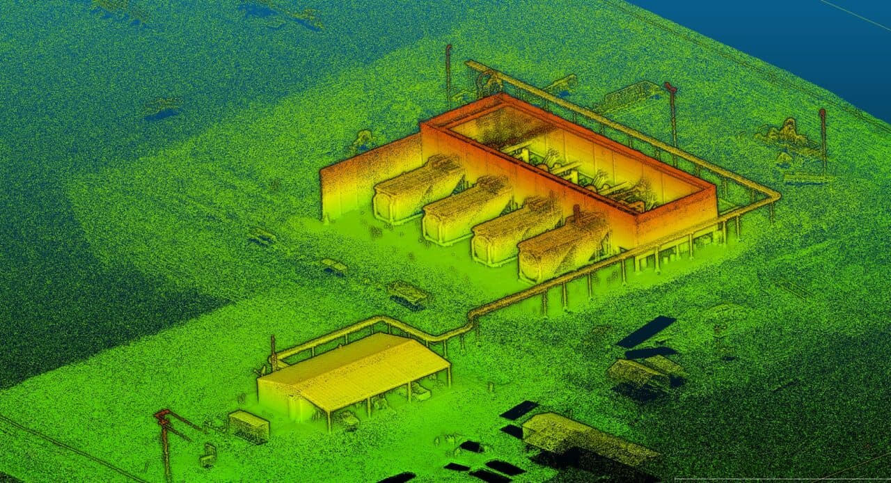
Laser Scanning & 3-D Modeling
Crowley Surveying offers State-of-the-art 3D Modeling services, using a combination of Laser Scanning, Photogrammetry, as-built drawings and other data to build interactive digital walk-throughs.
LIDAR (Light Detection and Ranging) is a cutting-edge technique that allows us to collect and record precise 3-dimensional data using Laser Scanning tools. A camera sensor mounted in the laser scanner records accurate, dense 3D points in space, and combines them together to form a point cloud of the surface.
Subdivisions & Platting
Layout and platting services for developers.
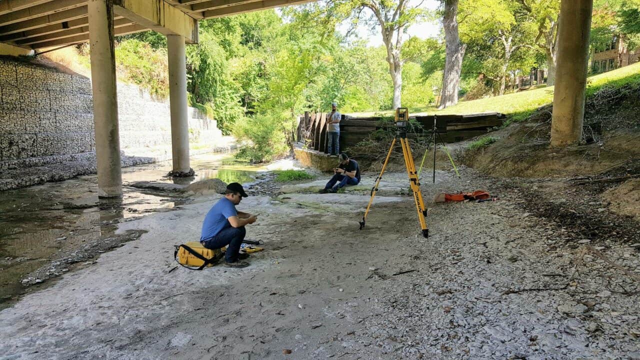
Topographic Surveying
Documents the natural and manmade features of a designated area of land. Shows the location, size, and height of the features, as well as changes in elevation of the land.
“Hands down the best. Don’t waste your time with anyone else.”
